
Orthomosaic Mapping
- Home
- Orthomosaic Mapping
Our Drones
Scalable Aerial Mapping with Orthomosaic Precision
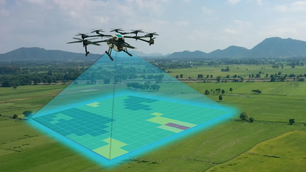
Drone Inspection Services Inc. delivers orthomosaic mapping services that transform hundreds of high-resolution drone images into a single, geo-referenced, and highly accurate map. These stitched visuals are perfect for construction planning, land surveying, infrastructure tracking, and asset documentation.
Each map is created with precision flight paths and data alignment, providing a consistent overview of large or complex areas.
Our Drones
High-Detail Maps Built for Measurement and Planning
Our orthomosaic maps are accurate, scalable, and loaded with real-world value. With centimeter-level accuracy, these maps can be used for engineering, land development, inspections, and environmental studies.
Clients use orthomosaic mapping to:
Document large sites such as campuses, roadways, parking lots, and utility corridors
Support planning and permitting with updated and annotated site visuals
Measure area, distance, and elevation directly from mapped data
Monitor construction or environmental change through periodic aerial updates
Each flight is conducted by an FAA-certified drone pilot and processed using advanced photogrammetry software.
Our Drones
Clear Maps. Confident Decisions.
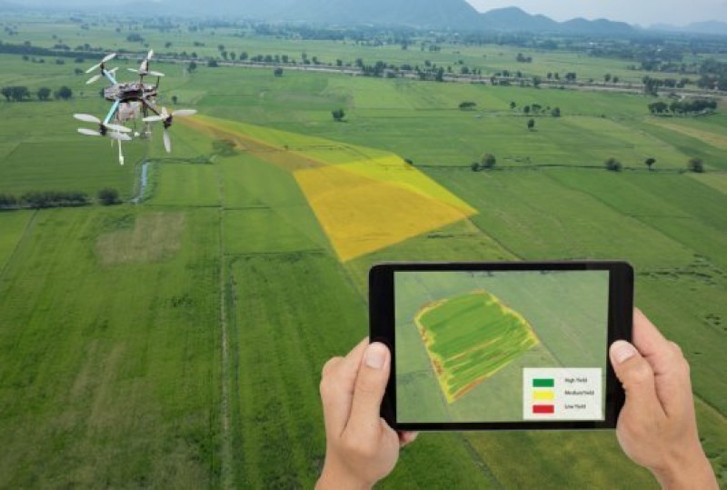
Our orthomosaic maps provide the detail and accuracy needed for better site management and reporting. Whether you are managing a large-scale project or need updated visuals for land use planning, we deliver high-quality mapping products that align with your project goals.
From raw land to active job sites, Drone Inspection Services Inc. gives you the complete view from above.