
Aerial Photography
- Home
- Aerial Photography
High-Resolution Aerial Photography for Every Industry
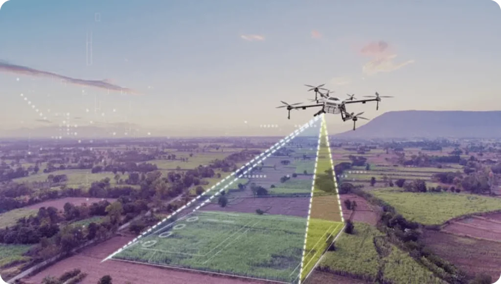
Our aerial photography service captures stunning, high-clarity visuals from above using advanced drone platforms. Whether for commercial, industrial, or real estate purposes, we deliver sharp, detail-rich imagery that helps you showcase, survey, or document your property or project from a perspective ground-based photography can’t match.
We tailor each flight to the purpose of the shoot, ensuring angles, lighting, and elevation are optimized for your unique visual goals.
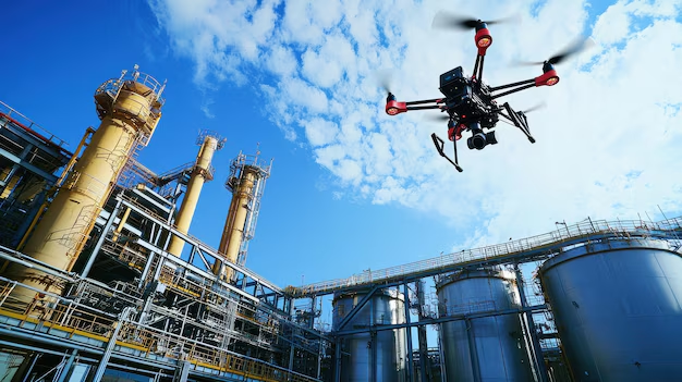
OUR DRONES
Versatile Aerial Imaging for Real Results
We go beyond visuals by offering strategic aerial photography services that support a wide range of industries and applications.
Our clients use aerial photography for:
Real Estate Marketing — Showcase properties, land, and neighborhoods with aerial visuals that grab attention
Construction Monitoring — Capture ongoing project progress or milestone completions from above
Event & Site Documentation — Document layouts, crowd flows, or infrastructure before, during, or after events
Asset & Property Management — Get a clear overview of rooftops, parking areas, landscaping, or large facilities
Every session is carried out by an FAA-certified pilot, ensuring safe operations and clear deliverables.
Elevate Your View with Professional Aerial Imaging
Aerial photography is more than just beautiful pictures. At Drone Inspection Services Inc., it’s a tool for visibility, communication, and decision-making. From promotional content to technical documentation, our drone-captured images are delivered in high resolution and ready to use across digital platforms, reports, and presentations.
Let us help you see the full picture — from the top down.